Riding in Denmark, and a ride from Copenhagen to Linköping
Last week, I needed to be in Copenhagen, for a meeting, and I decided to take my bike along with me, and ride back home. Since I couldn't ride on the Øresund bridge between Denmark and Sweden, I decided to take a bus to Helsingborg instead, and then make the ferry crossing over to Helsingør, from where I'd ride to the meeting venue, 45 km away. I spent a few hours agonizing over route choices with ridewithgps, (but in hindsight, ought to have been even more cautious) and created all the routes that I needed; the ride from the ferry to the meeting venue, routes to get to my hotel from the meeting venue and vice-versa, and finally, the route to get from the meeting venue to all the way back to Linköping.
Swebus is my prefered bus operator, as they allow me to carry a bicycle onboard, without having to disassemble it or pack it in a bag; they only mandate that you take off the pedals, and cover up the chain and gears, to prevent grease staining other items in the luggage compartment, and both of those requirements are easily met.
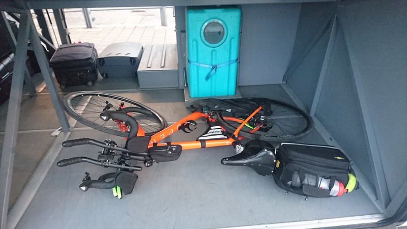 Bike in the luggage compartment, with the chain cover on.
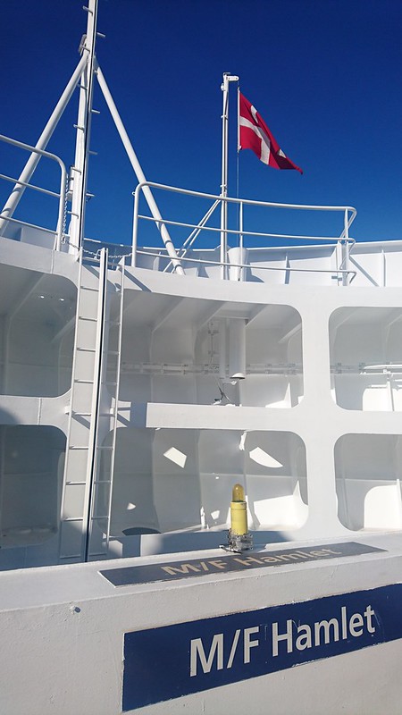
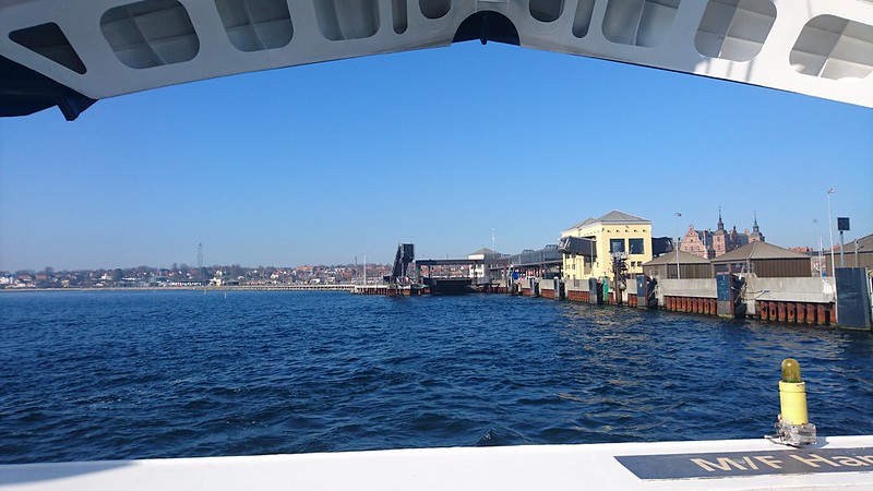
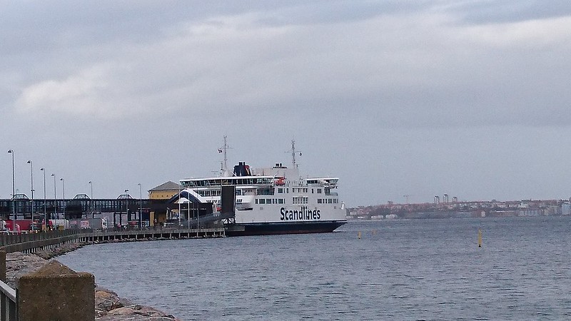
The ride from the bus station to the ferry station was short; I was there within five minutes, and after paying for a return fare, I was waiting for my turn to board. This was only the second time I was on a ferry, and the first time I was on a ferry of this size.
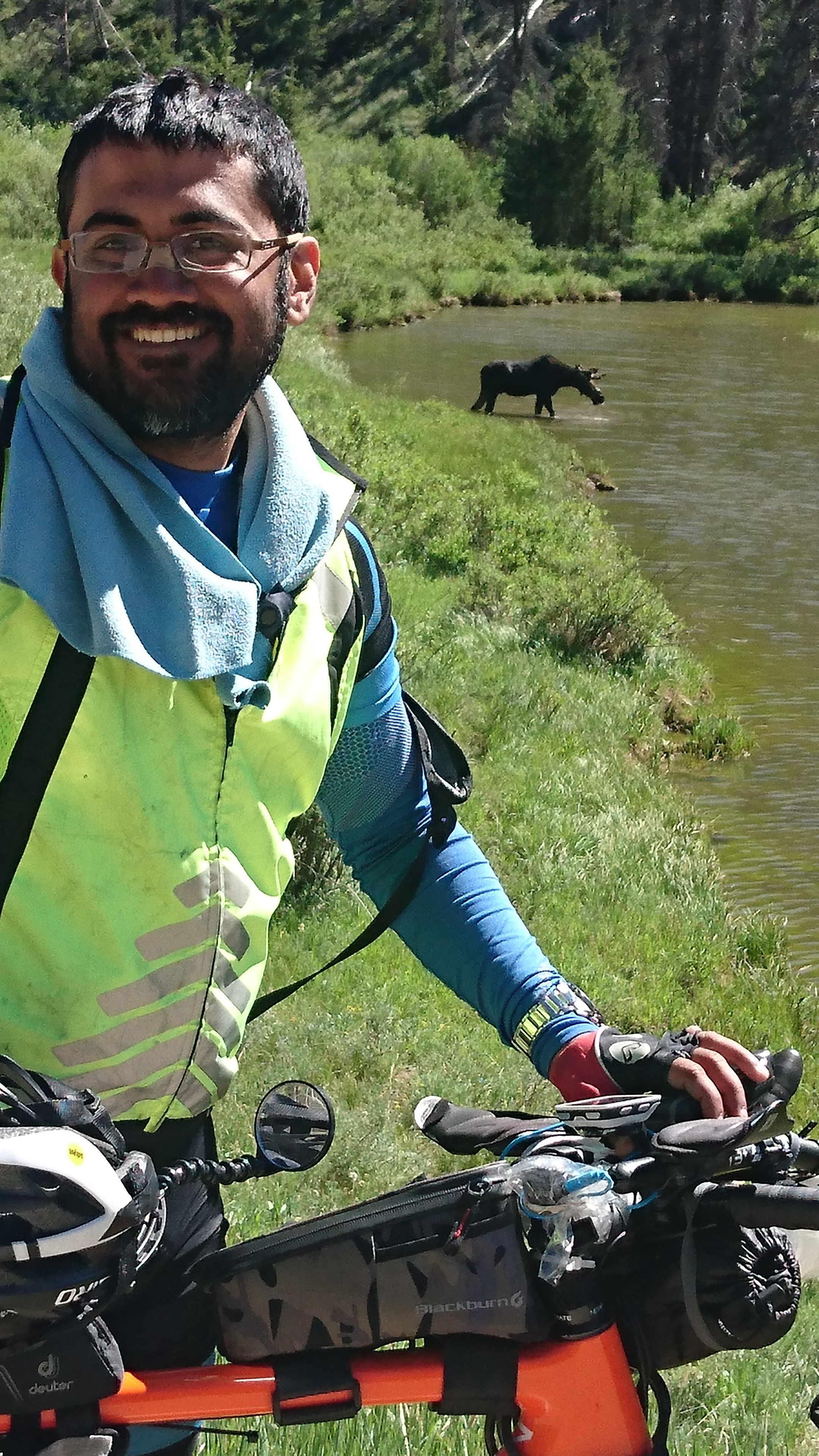
After about 20 minutes, I was deposited onto Danish soil (or tarmac!) and I started biking towards Copenhagen. My route was right along the coast, and it was beautiful, though the weather was a bit cold and foggy. You can see the visualization of my ride here: https://www.relive.cc/view/927645037
The meeting was a two day affair, and upon finishing the meeting on day two, I was all set to return. I made short work of the ride to the ferry, aided by some helpful winds, and bought some coffee and sandwiches on the ferry, eating one sandwich and packing the other for later.
An uneventful crossing and another 40 odd kilometers later, at 1940 hrs, made a stop to eat another sandwich and to put on my overshoes, jacket, and warmer gloves, as the temperature had started to drop and the winds were picking up. Thanks to a tool I wrote after this ride, I was able to get the exact coordinates of the place where I'd stopped, which allowed me to get the google streetmaps image, for the stop; the tunnel offered some protection against the howling wind, while I stopped, ate, and changed. http://bit.ly/2nO4cmi
Now, one mistake that I'd made (one that would cost me several hours on this ride) was that I'd set out with a fully empty battery pack, as I'd forgotten to charge it during my stay in Copenhagen. Now, I have the means to charge this battery pack on the go, but it charges slowly, and when I turn on the lights on the bike, after dark, the the charging stops. The battery on my garmin was fully charged when I set off, but I was already several hours into the ride. I calculated that I'd run out of juice on the garmin towards day break, at which point, I'd have an empty garmin and very few spare electrons in the battery pack. The special cable that allowed me to charge my Garmin on the move wasn't working, so I would have to charge the Garmin from the battery pack itself, and that too, using a regular cable, which would have certain unpleasant consequences on the ride recording (it would terminate the ride and commence a new recording, instead of a continuous ride). I made a further stop to see if I could somehow get the special charging cable to work, but gave up after spending some fruitless moments. Two more hours of riding brought me to my first planned meal stop, at McDonalds, Örkelljunga, at 2139 hrs. If leaving with a fully discharged battery pack was a blunder, here, I committed my second blunder. I failed to put my battery pack on charge, while I was stopped. This could have easy charged it up a bit, considering that I was stopped for close to an hour. I ate a burger, downing it with some milk and packed another burger and more milk, for the night, before resuming the ride.
After resuming the ride, it didn't take long before I realized I was off-course; I left the good road that I was on, and turned instead into a slightly less nice bike road, but after some time, the bike road steadily deteriorated, till it seemed like an MTB trail. The powerful lights on the bike meant that I had an excellent field of view, and was able to choose the best possible line, through the rubble. Riding over poor surfaces, in the cold, and in the dark, is quite a taxing experience, but before long, things got even worse, when I encountered a fence across the trail, barring me from traveling any further. Thankfully, I had a GPS with basemaps, so I was able to use it, to search for alternate paths, and I came across a little trail, and after a painfully slow two kilometers, which seemed to last forever, I broke out into motorable and bikeable roads again. I had another episode like this, but much worse, as I ended up in the middle of a forest, where I had to put my faith on trails that were not even visible on the map, simply because they were running in the right direction. After a couple of rounds which dead-ended, I finally found what was marked as a 'pilgrim trail', and made my way through it. If you have selected the route poorly, it'll cost a lot of time, as you'll have to ride slowly through the bad sections, or worse, stop and look up alternate routes which will hopefully put you back onto your original route. On a cold day/night, this would also mean having to remove your gloves, cursing all the while, while hoping your fingers don't freeze, and then putting the gloves back on. I finally cleared the atrocious roads and got back to paved surfaces, but my GPS was down to 27%. It was 0330 hrs then. If I rode till sunup, (approx 0630), my GPS would be dead, and there would also be no way to charge it up, since the battery pack also seemed quite empty. At that point, I decided that the best course would be to try and find a place to sleep for the next couple of hours or so, thereby conserving the GPS, till the sun came out, and then to find a place to recharge my electronics. I found a bus shelter, and slept fitfully, willing my body to reduce my heart rate, in order to conserve heat. While this may not have really worked, it gave me something to meditate on, and that seemed to help. After about an hour and a half, when I tried to restart the Garmin, it simply refused to do so; I surmised that it was because of the cold temperature. I had a fully functional navigation computer that ran on AA batteries, for which I had plenty of juice, but this dead Garmin unit was the only one which was tracking the ride, and I really needed ride metrics. My thought then, was to find a place like an all night McDonald's, where the warm indoors might inspire the device to turn on. It would also give me an opportunity to charge my devices. From there, I set off to find some place that was open; the Max nearby had a board that said it opened at 10. The McDonald's though opened at 0600, and was open by the time I made it there. I first put my battery pack on charge, and a bit later, reset the Garmin and put that too on charge. I decided to charge the Garmin all the way to 100% before leaving, as I had a long way to go. I ate a breakfast of pancakes and fresh cream and jam, and downed a coffee and waited patiently, resting on the chair. I waited more than two and a half hours, during which the Garmin charged completely. I was really unhappy at having lost so much time, and in hindsight, I realize I could have avoided it almost entirely, if only I'd charged the battery pack at Örkelljunga, but that's how it went.
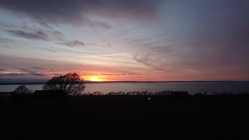
I rode on to Värnamo, where I pulled into a Preem gas station and convenience store, for brunch, at 1040 hrs, and ate quite heartily, and packed some yoghurt drink for later. Resuming the ride, I had more of bad road to navigate, and I found myself getting tired. At about 1240 hrs, I pulled by the roadside, and took a 35 minute nap. Refreshed, I continued and had to do more rerouting on the fly, as ridewithgps had put me on a road that required me to go through a section closed off to general public, by the Swedish armed forces. I most certainly dodged a bullet (or bullets!) as it's supposed to be artillery testing grounds or something! I reached Jonköping by 1600 hrs, and I decided I'd grab early dinner, and give my garmin it's final electron topup. I ate and waited for the Garmin to charge up. While there, I was thinking about all the lost time, and the fact that I'd need a full six more hours to get back home. Six hours can be both a short amount of time, and a very long one, depending on your morale, and at that moment, it seemed quite long. I briefly considered boarding a train back to Linköping, from there, but remembered how I'd felt after I'd aborted my 600 brevet, ironically not far from that place. I then decided that I wouldn't pull out of this ride for merely being out of my comfort zone. I biked steadily, and labored up the multiple climbs around Jonköping, and enjoying the fast descents. Going over the cobble-stoned section in Gränna proved surprising smooth, thanks to the all carbon-fiber bike frame which absorbed a lot of those judders. It was a nice feeling to see the sign boards, indicating my entry to Östergötland, and Ödeshög. I also stopped to take a picture, as it seemed so very pretty.
 I took another 20 minute nap, and shortly after, a last stop, to eat the yoghurt, at 2145 hrs. After that, it was a non stop ride, all the way to Linköping, where I grabbed a coffee at an all night gas station. The hot coffee served quite well, as a celebratory drink!